
Projects
Baril Bay — a Gold & Copper exploration property in the Lac des Mille Lacs Greenstone Belt.
Located in the Boot Bay Area, Thunder Bay Mining Division, Baril Bay sits along the Quetico Fault — a structural corridor with a long history of gold occurrences in northwestern Ontario.
Property Overview
The Baril Bay property lies in the Boot Bay Area (NTS 052B15), on the peninsula between Baril Bay and Bull Island on Lac Des Milles Lacs Lake — approximately 125–132 km west of Thunder Bay and roughly 60 km east of Atikokan. The property is accessible via Highway 11 and Brule Creek Road, with several fishing lodges and boat access points nearby.
The property is underlain by mafic to intermediate metavolcanic rocks in the Lac des Mille Lacs area, along the Wabigoon Greenstone Belt. The Quetico Fault — a major, east–west trending structural feature extending over 500 km — runs approximately 1 km south of the property through Baril Bay, marking the contact between the volcanic Wabigoon Subprovince and the sedimentary Quetico Subprovince.
Gold mineralization on the property is of orogenic style, typically associated with shear zones showing disseminated sulphides, iron-carbonate and silica alteration — a setting shared with the Geraldton and Mine Centre gold camps along the same structural trend.
Au (Cu)
Target commodities
Grassroots
Exploration stage
~125 km
West of Thunder Bay
Quetico Fault
~1 km south of property
13 g/t Au
Best 2025 grab sample result (sample C273439)
Exploration Results
A history of anomalous to high-grade gold values.
| Year | Program | Result |
|---|---|---|
| 2008 | Benton Resources | Up to 3.6 g/t Au (grab); 1.3 g/t Au over 1 m (channel) |
| 2022 | Property reconnaissance | Best 5 of 9 grab samples: 3.02, 2.28, 0.70, 0.58, 0.57 g/t Au |
| 2025 | Grab sampling program (7 samples) | Up to 13,000 ppb (13 g/t) Au — see table below |
2025 Grab Sample Results
| Sample | Rock Type | Au |
|---|---|---|
| C273435 | Silicified felsic intrusive | 350 ppb |
| C273436 | Quartz vein in chloritic host | 6 ppb |
| C273437 | Silicified felsic intrusive | 246 ppb |
| C273438 | Quartz + ankerite vein | 5,680 ppb |
| C273439 | Gossanous, sheared metasediment | 13,000 ppb |
| C273440 | Quartz + ankerite vein | 4,370 ppb |
| C273441 | Silicified chlorite schist | 63 ppb |
Samples were collected October 2025 and analyzed by Actlabs, Thunder Bay, via total digestion ICP-OES and fire assay. Historical results reported by Benton Resources (2008) and prior operators; grab samples are selective and may not represent average grades across the property.
Maps & Field Photos
The property, its geology, and samples from the field.
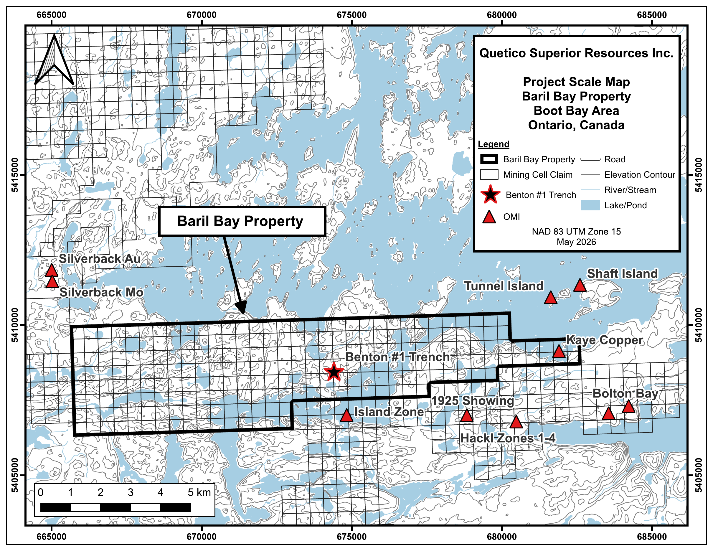
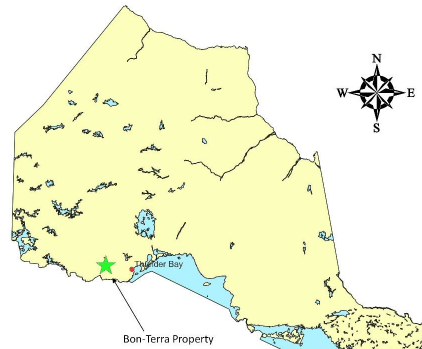
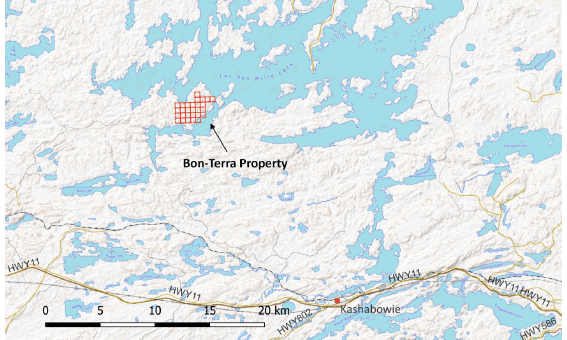
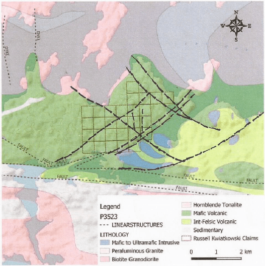
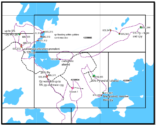
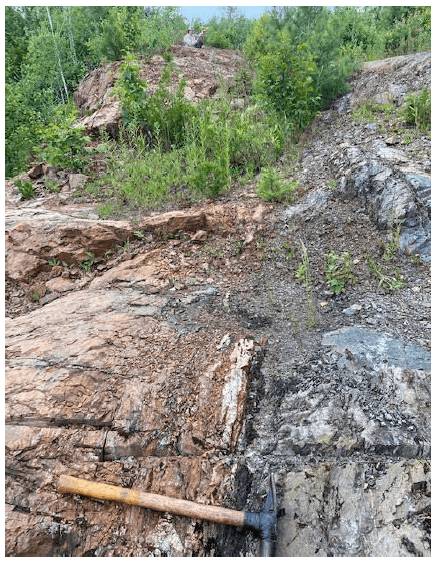
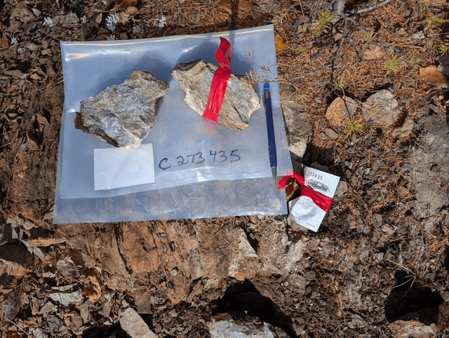
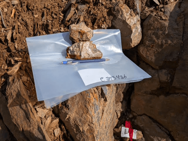
Project scale map prepared for Quetico Superior Resources Inc. Other maps and figures from prospecting and assessment work by Salo Geoscience Services (2025) and R. Hrkac (2022).
Next Steps
An underexplored property with clear next steps.
Structural proximity to the Quetico Fault, combined with the alteration and mineralization styles observed to date, indicates potential for orogenic-style gold mineralization on the property. Recommended next steps include litho-structural mapping and a soil geochemical survey, followed by trenching and channel sampling of anomalous areas to delineate drill targets. A historical copper showing on the property has not yet been investigated and warrants follow-up.
Further opportunities under review
We continue to evaluate additional ground across the region as part of our ongoing due diligence process. New projects will be added to this page as they are confirmed.